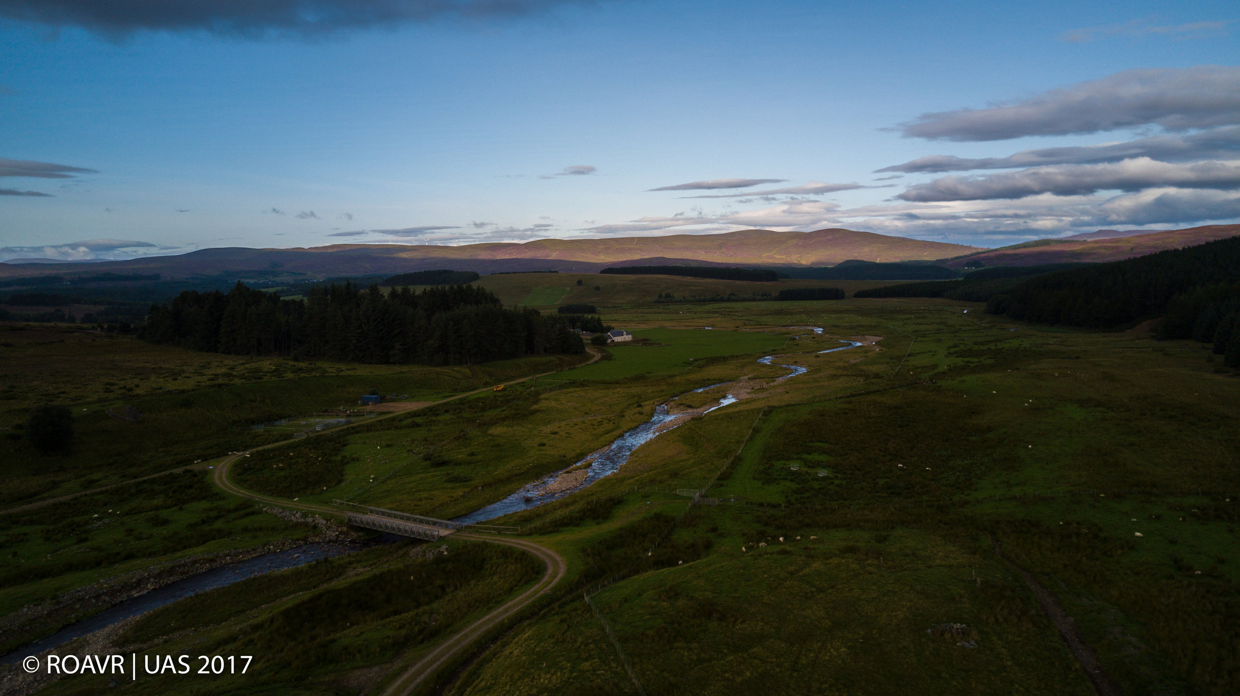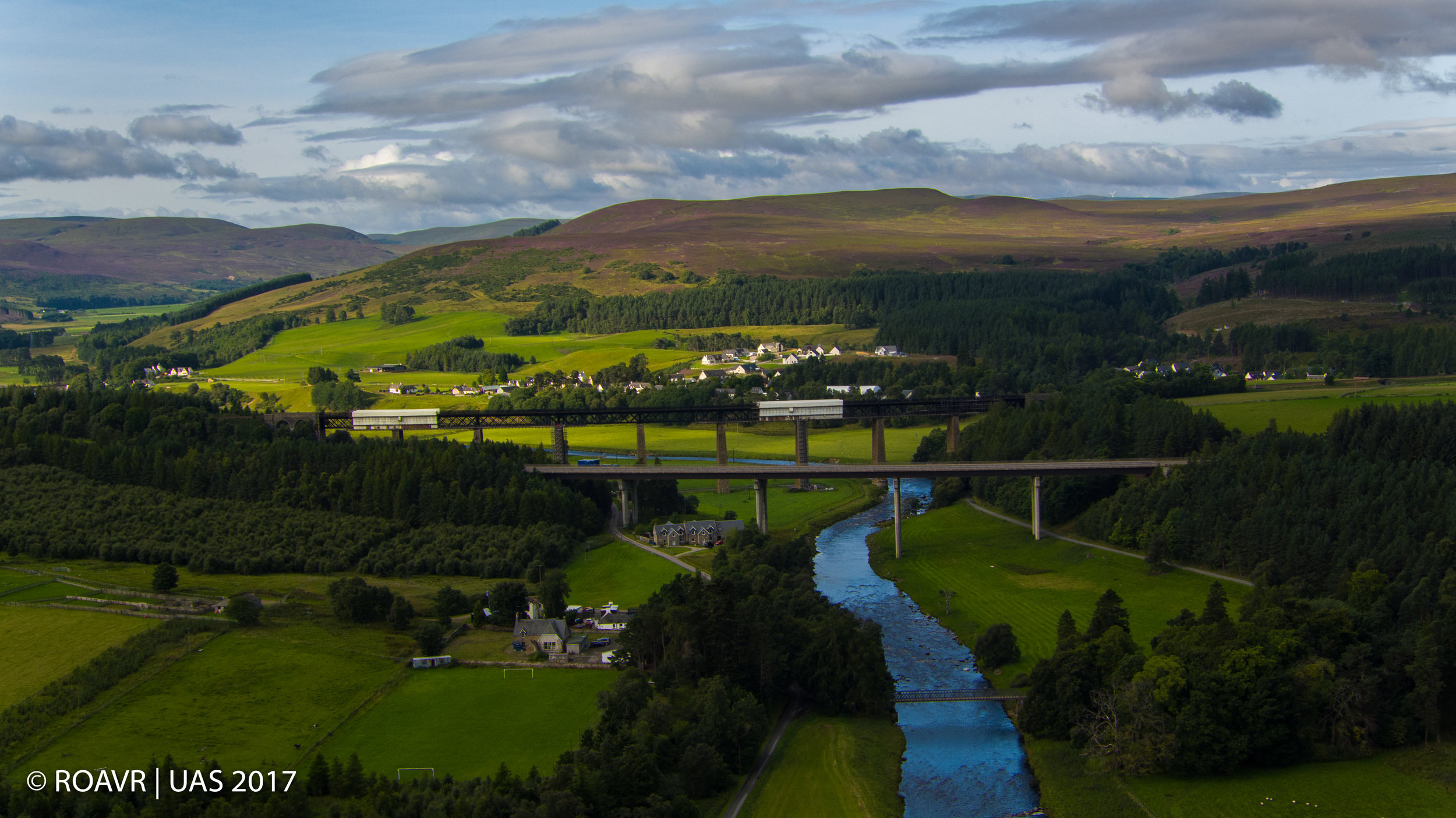
Strathdearn is a river valley in the Highlands of Scotland extending about 22 miles long from Coignafearn to Moy, following the river Findhorn's meandering course through the parishes of Dalarossie, Tomatin and Moy. The upper reaches of The Glen are narrower, then widen to almost 4 miles with the main centre of the community at Tomatin, meaning "Hill of the Juniper" in Gaelic.
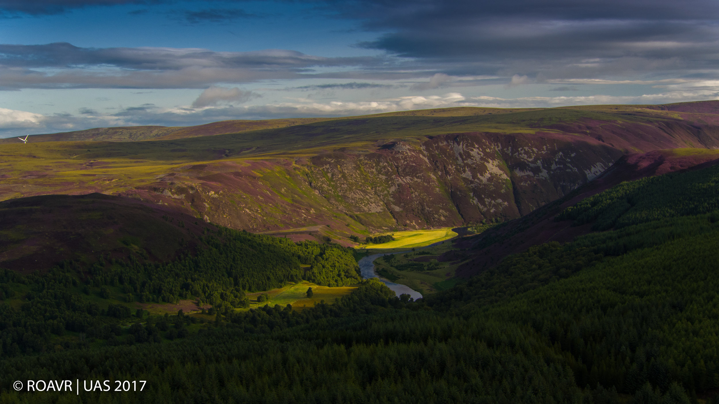
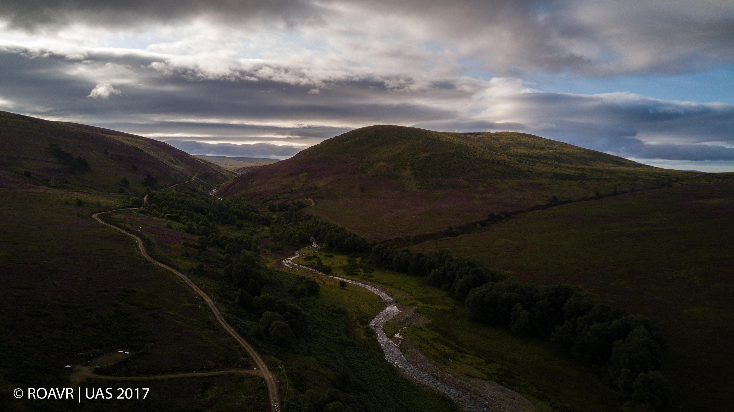
The Strath was sculpted by a retreating glacier and is bounded by hills of the Monadhliath range, reaching heights of 3000ft nearer the headwaters of the river and gradually becoming less steep. They are covered with heather and grass now but, in ancient times, were heavily wooded with birch, hazel and alder, but mostly pine. Stumps and trunks of these veterans can be seen protruding from peat banks – what remains of the Caledonian Forest after slash and burn by early farmers and a changing climate.